Overview
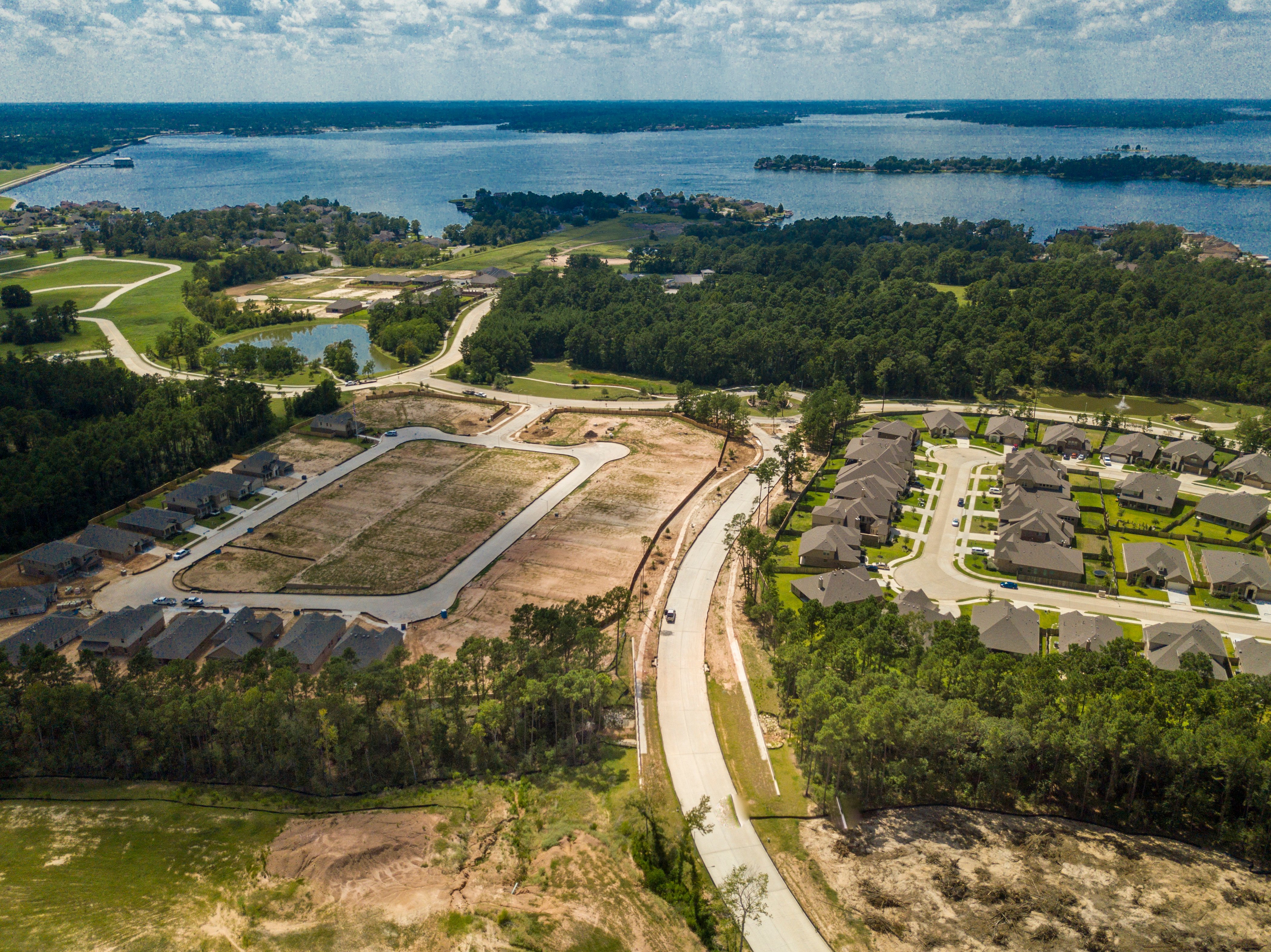
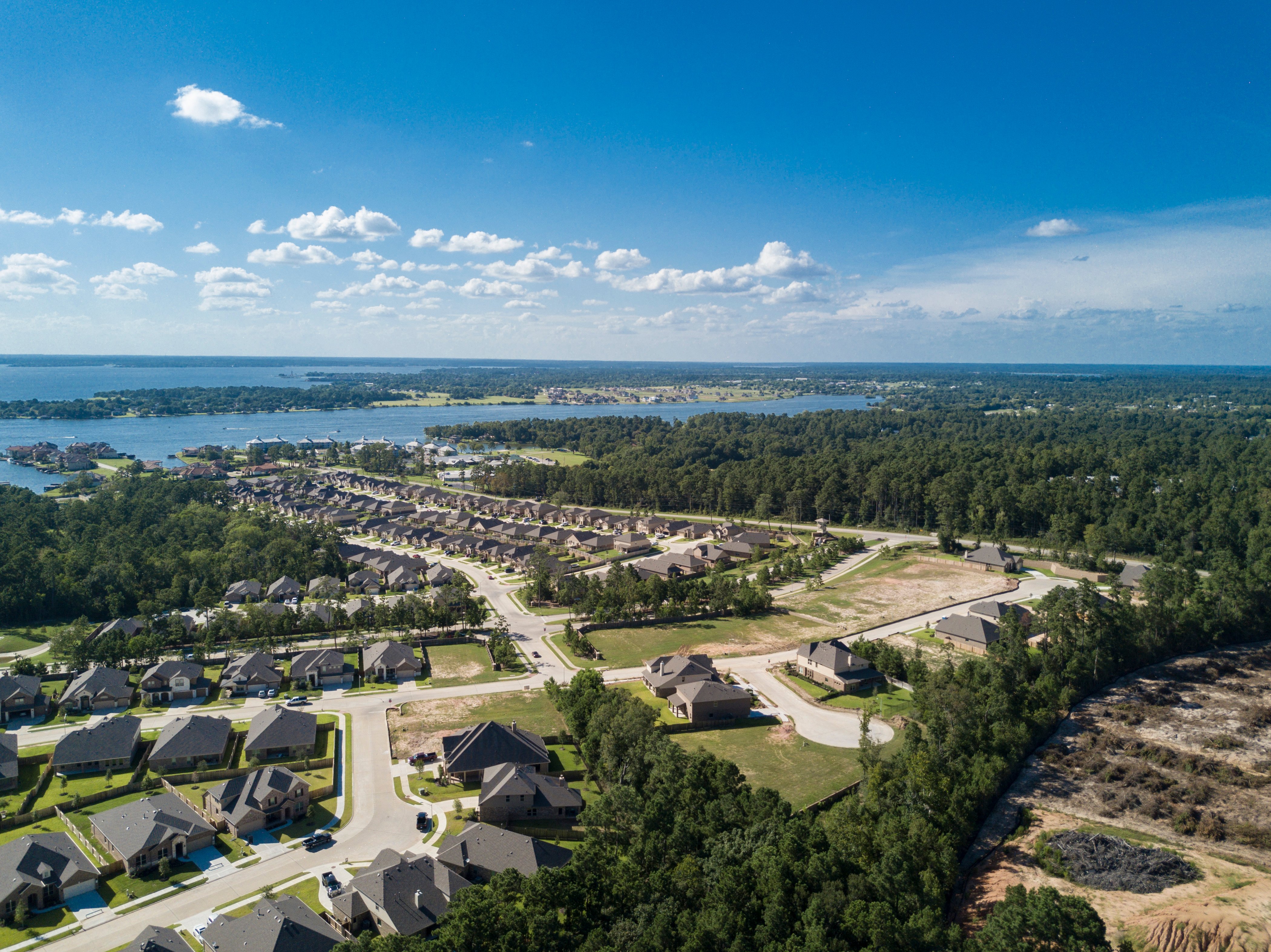
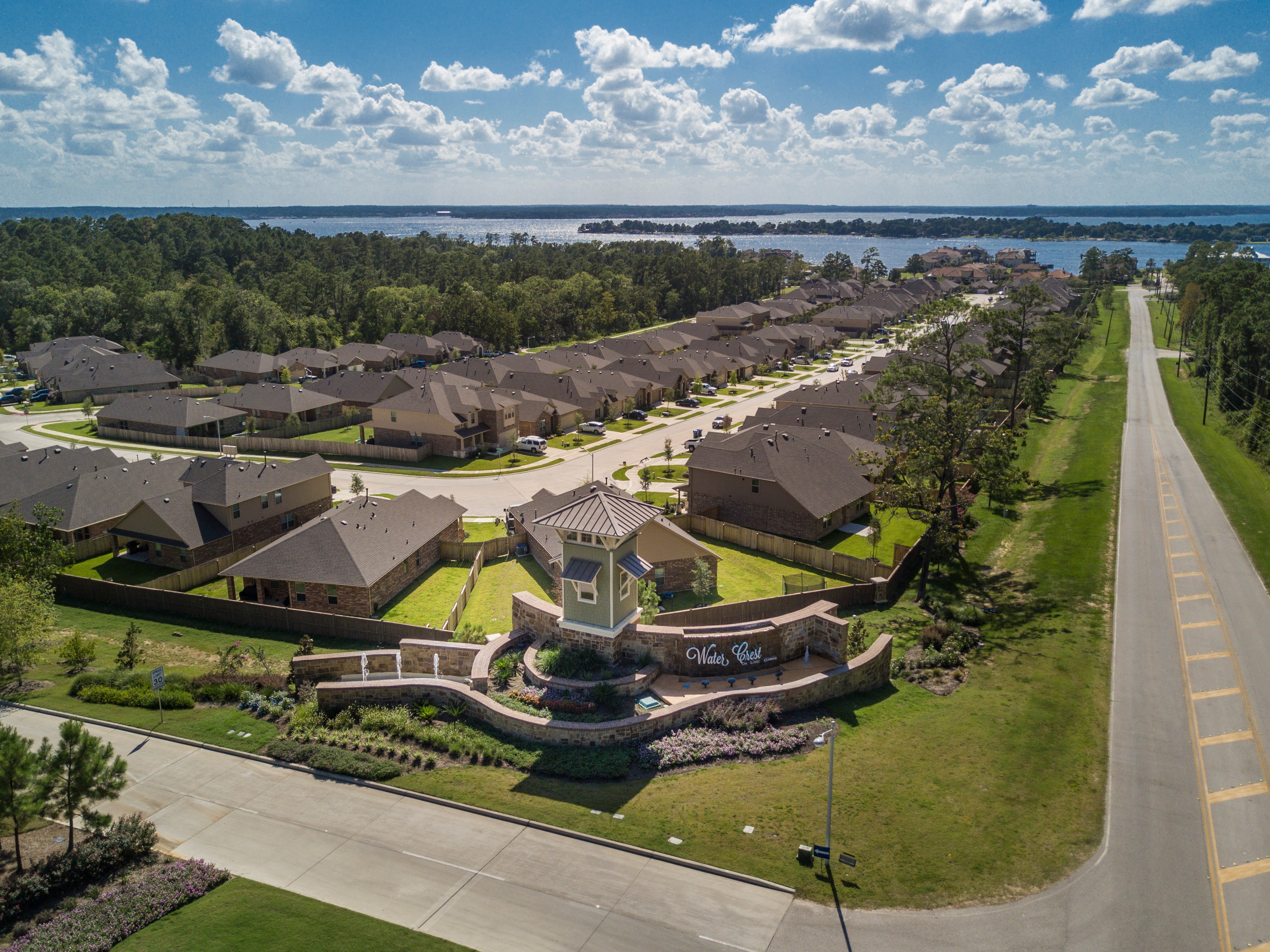
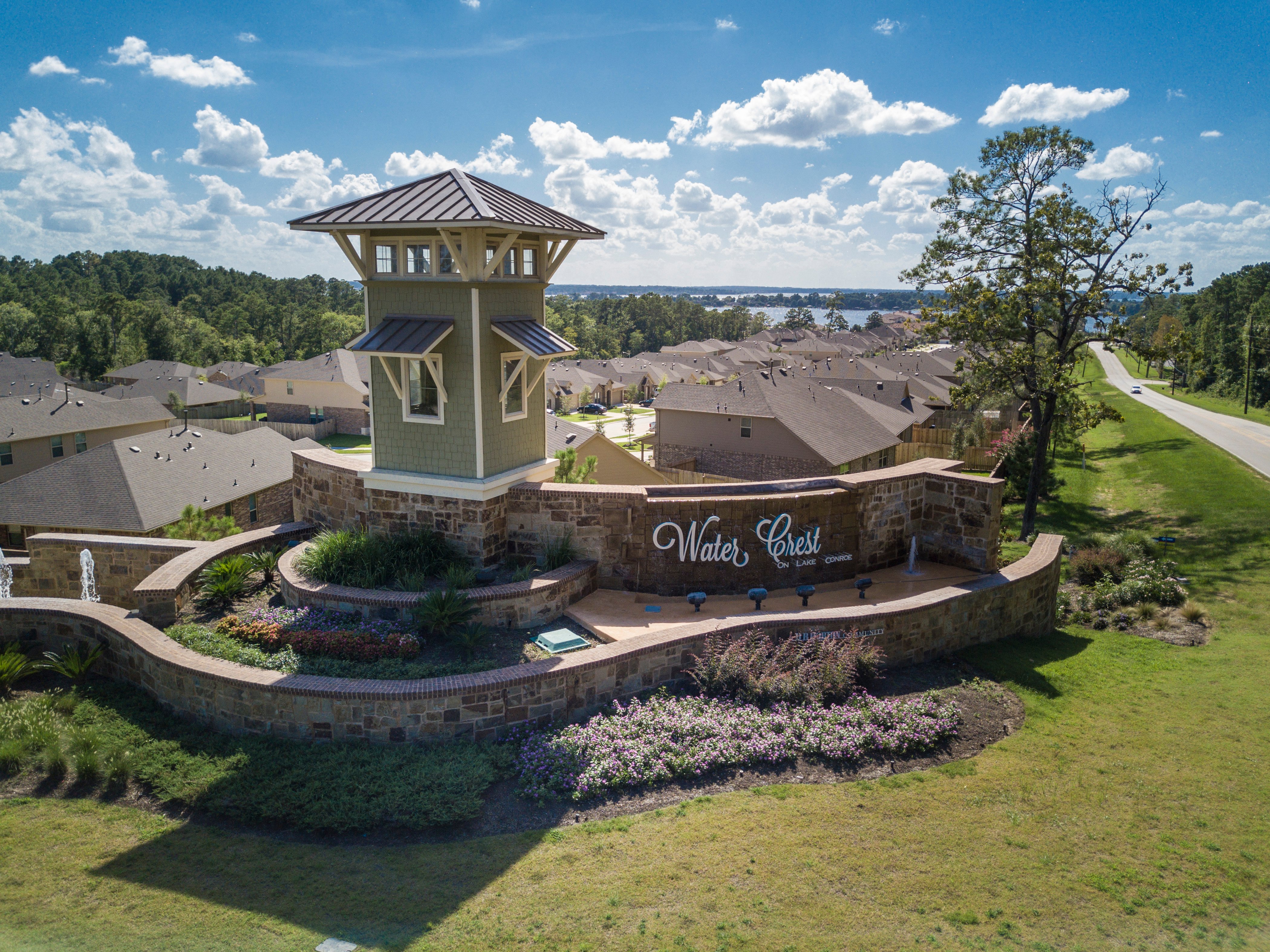
The Water Crest development on Lake Conroe is a 330-acre master planned community in northern Montgomery County in the City of Conroe. More specifically, the community is located south of League Line Road, west of Longmire Road and adjacent to Lake Conroe. The overall project kicked off in 2012 and consists of 15 sections with a total of 860 single family lots, 2,000 linear feet of bulkhead and one mile of collector roadway. Professional services provided by EHRA include survey, water, hydrology and hydraulics, sewer, drainage and pavement design, landscape architecture, construction plan and technical specification preparation, bid cycle services, district services and construction management services. As of August 2022, the development is 90 percent complete as three sections remain under construction. The projected final construction cost is approximately 30 million dollars.
Site Elevation Solutions
The development includes terrain with a site elevation difference of 123 feet. Given the elevation complexities, the project team found it both challenging and rewarding to create design solutions intended to establish or maintain views from key community amenities. For example, EHRA models positioned the recreational center on the highest part of the development in order to capture the most pleasing and comprehensive views of Lake Conroe. Maintaining quality lake views from the community entrance was another high priority in EHRA’s vision for Water Crest.
Additionally, the precarious terrain added hurdles to establishing agency-approved lot grading. EHRA brainstormed to identify methods that would satisfy the regulatory entities while preserving the vision of the project owner, D.R. Horton. Ultimately, the design team integrated retaining walls into construction plans to support lot grading suitable to all parties.
Retaining Wall and Roadway Designs and Construction Plans
EHRA designed and prepared construction plans for 400 linear feet of Mechanically Stabilized Earth (MSE) retaining wall along Forest Crest Parkway, a collector roadway within the Water Crest development. EHRA’s decision to construct MSE in lieu of a concrete headwall resulted in significant cost savings for the project owner. Furthermore, our firm designed and provided construction plans for a 90-foot-diameter roundabout. The roundabout was designed with an aesthetically pleasing cobble pattern to complement the elevated visual appeal of the overall development.
Storm Water Pollution Prevention Plan
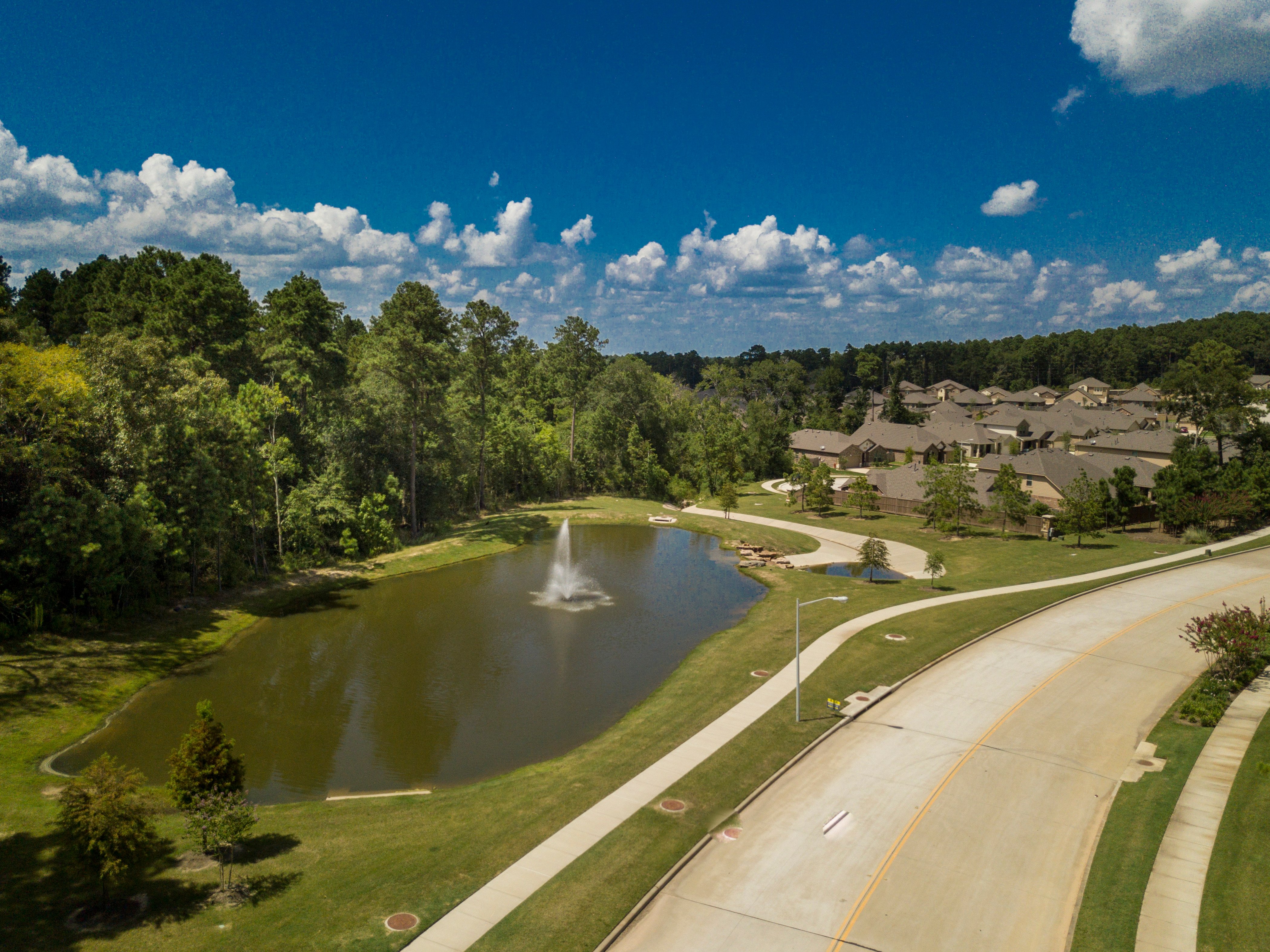
EHRA closely coordinated with both the client and the San Jacinto River Authority for many elements of project execution. One particularly important element involving such sophisticated synchronization was the storm water quality plan. Naturally, storm water considerations and conditions were a critical component for the lake-adjacent development. Many organic features of the tract, such existing creeks, tributaries and lakes, provided multiple paths capable of filtering stormwater runoff from the single-family development. While these characteristics would serve as sedimentation basins in the post development condition, EHRA designed and added several additional storm water quality features to ensure optimum outcomes for the community.
Drainage Analysis and District Services
EHRA performed a drainage impact analysis for Water Crest to demonstrate that the large development could discharge into Lake Conroe and the West Fork of the San Jacinto River without additional detention facilities. Confirming existing discharge sufficiency preserved developable land for the City of Conroe and allowed the City to redirect monies to bettering the future population in more exciting ways. Lastly, EHRA supported and facilitated the district creation of the Montgomery County Municipal Utility District No. 126 to best accommodate Water Crest and to serve the City of Conroe long-term.
Problem-Solving and Schedule Recovery
EHRA, in conjunction with the subconsultant team, flexed our critical-thinking muscles when the group unexpectedly encountered groundwater on site. Internal engineers collaborated with Geotech Engineering to innovate resolutions that would not compromise the project schedule or budget. The joint decision was to achieve groundwater remediation by employing underground systems designed to catch the previously undetected groundwater.
Moreover, to successfully and gradually populate Water Crest, sophisticated critical path management proved vital. EHRA prioritized the generation of multiple community access points so contracted home builders could enter the project area and commence production. Land Services meticulously considered operational sequencing and arranged for precise delivery of each project phase in order to reach key milestones that supported the timely progression of major stakeholder endeavors. Utilizing EHRA drone lidar for topographic and as-built survey efforts also saved the client time and money, which further advanced the interests of builders, area businesses and future homeowners.
Check out the Water Crest Project Profile


