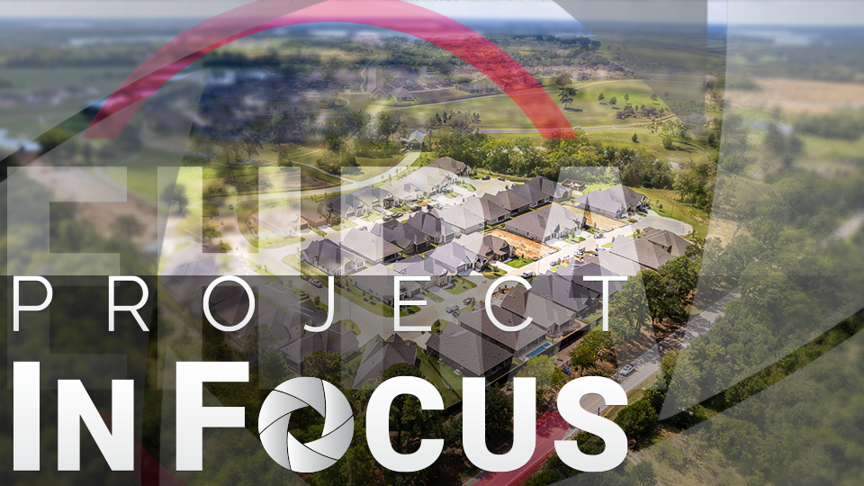
The rolling hills, mature trees, natural ponds and expansive views are among the characteristics that make Chambers Creek, the 1,265-acre community near Conroe, Texas, unique. And although those same features are what create a unique set of challenges to overcome, for EHRA Engineering's Land Services team, the challenge isn't simply developing the tracts. It's figuring out how to develop it without engineering away what makes the land special in the first place.
Working With the Terrain
Rolling terrain introduces a new level of complexity to nearly every aspect of site development. It becomes a game of balancing dirt, cutting it from one area and using it in another to help manage costs and utilize every bit of land and resources with intention.
But grading for efficiency isn't enough. Cutting into a hillside can require expensive retaining walls, but leaving too much elevation can create challenges for lots, roads and drainage. EHRA established a strict grading criteria that balanced slope, constructability and livability while minimizing the number and height of retaining walls. Within those constraints, one viable solution was the use of grade beams to thicken the home’s foundation and repurpose elevation that otherwise would be used on a retaining wall. Combined with a dropped slope, the approach in some instances eliminated the need for a large wall altogether.
The trade-off included incorporating steps into backyards, which was an important consideration for a 55+ active adult community. That's why the team’s solutions continue to be evaluated not just for whether they work, but for their impact on residents, aesthetics and cost. Our goal is to find the solutions that work best for the vision of the community.
Where Engineering Meets Aesthetics
When it comes to drainage, engineers naturally look for the most efficient way to move water from Point A to Point B. At Chambers Creek, however, the most efficient drainage solution isn't always the best overall solution.
Throughout the development, EHRA has worked with landscape architects to integrate necessary drainage features into the surrounding environment. Boulders, vegetation and other landscape elements have strategically been incorporated to make drainage features feel natural rather than engineered. It's a small example of the larger principle that a solution has to function, but it also has to belong.
Every Phase Is a New Puzzle
As Chambers Creek continues to develop, each phase brings a different set of conditions. Phase Three presented a large ridge that needed reduction, yet it was surrounded by constraints on both the eastern and western sides. The team had to manipulate the dirt carefully, moving it within the development while accommodating those constraints.
Phase Four has presented an entirely different challenge, with a significant number of internal trees, detention ponds and pipeline corridors. Each phase is essentially its own puzzle, but as engineers, the pieces still have to connect and make up the larger community as a whole.
Before beginning each section, EHRA has worked with Caldwell Companies to identify priorities and evaluate how preservation affects the land plan. Sometimes the impact is minimal. Other times, preservation can mean changing the plan or potentially losing lots. Through it all, public safety remains the non-negotiable priority.
Preserving the natural character of Chambers Creek isn't about working around the land, but rather allowing the land to help shape its design. Engineering isn't intended to overpower the land. It's intended to work within it.
Nothing Happens by Accident
For someone visiting Chambers Creek, the community simply feels natural. A home sits at the right elevation. A roadway follows the terrain. Trees remain in yards. Water moves through a beautiful drainage feature. A view opens toward the golf course, and it looks almost effortless.
But that sense of effortlessness is the result of countless decisions by Caldwell Companies and an entire team of project partners.
As development continues, each new section brings another set of constraints, decisions and opportunities. The team will solve each new puzzle with designs that don't simply work, but work together to balance the land, residents and the needs of the community, and that achieve what Chambers Creek was always envisioned to be.