

EHRA was selected as one of two firms to provide professional surveying services under contract to Houston Community College System.
EHRA completed preliminary engineering, phase one environmental site assessment and schematic development for the widening of Northpark Dr. between US 59 and Woodland Hills Dr. EHRA also provided program management, drainage analysis and design, traffic engineering, environmental documentation and schematic design for the roadway, as well as grade separation at the Loop 494/UPRR railroad crossing.
EHRA conducted traffic operations and access management studies for the Northpark Dr. corridor. This corridor is approximately 2.2 miles long and has major signalized and unsignalized intersections and driveways that access various subdivisions and industrial developments. These studies laid the groundwork for the widening of Northpark Dr. from a four-lane boulevard cross-section to a six-lane boulevard complete street. The new street design includes low impact development drainage, conventional drainage, a grade separation at the UPRR crossing with mechanically stabilized earth retaining walls, two at-grade crossings for bi-directional frontage access, reconstruction of two concrete bridges over a diversion channel, intersection improvements, a roadway-adjacent multiuse path and traffic signal improvements.
Drainage analysis and design included hydrologic and hydraulic studies of both existing and proposed conditions to demonstrate that proposed project components would not adversely affect the 100-year floodplain in the area. The roadway and traffic designs contained horizontal and vertical alignments, cross-sections, plan and profile, sidewalk and bicycle accommodations, intersection layouts, traffic control plans and signing and pavement markings.
As the program management firm, EHRA coordinated with TxDOT, UPRR, the City of Houston Council District E, COH Planning and Development Department, COH Public Works and Engineering Department, Montgomery County, Harris County, HCFCD and area residents throughout the project.
EHRA worked with the District to create a comprehensive Parks Master Plan, which included recommendations for the development of over two miles of hike/bike trails adjacent to local streets, and within flood control and utility pipeline easements. The District began implementation of the Plan by prioritizing the beautification of West Road, a major arterial street that runs through the District.
This project was the second phase of parks implementation outlined in the District's Parks Master Plan, which was completed by EHRA in 2007. Utilizing the site of a recently demolished former wastewater treatment plant provided an opportunity to create a passive park space for District residents.
EHRA conducted a traffic engineering study to identify the impacts of a proposed master development located near the intersection of FM 1488 and Peoples Road in the City of Conroe.
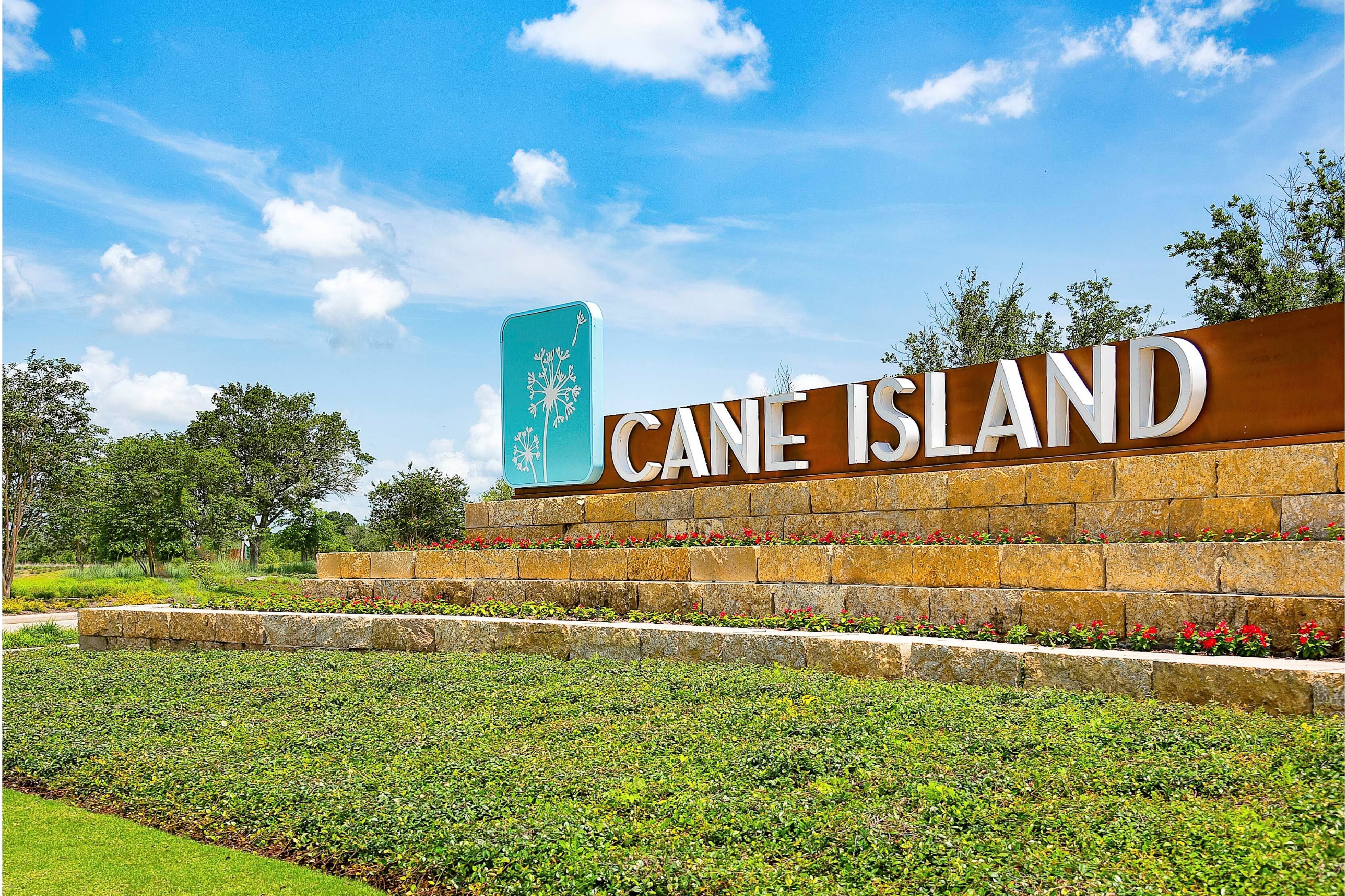
Cane Island is an upscale master planned community located on the west side of the City of Katy in Waller County. The 1,009-acre development is comprised of 45 sections, including dedicated areas for approximately 2,100 single-family residential homes, a new elementary school in Katy ISD, and a community park. The Cane Island project started in 2010 and is projected to see complete home build-out within the next three years. EHRA is contracted to provide surveying and engineering design for excavation, paving and grading, water mains, storm sewers, sanitary sewers, detention basins, and other amenities.
An important objective for the Cane Island master planned community was to remove portions of the area that fall in the 100-year floodplain. The overall project includes the design of 4 complex drainage systems with 25 detention ponds, also serving as amenity features, that outfall into Cane Island Branch and Snake Creek. Some of the more attractive features of the development are abundance of beautiful landscaping and planting features, the major connectivity provided by the many walking trails and the Amenity Center that includes a restaurant and recreation center on the community property. “One of the most challenging aspects of this project was working around the various pipelines, easements and electric transmission towers across the project site. It required a great coordination effort with both private and public entities, and we had to implement creative design solutions to make this land developable,” said Project Manager, Thomas Arnold.
Improvements to US Highway 90 and Cane Island Parkway down to Interstate 10 were designed and constructed for the projected traffic increases with growth of the development. Water supply and wastewater treatment for this project is provided by the City of Katy.