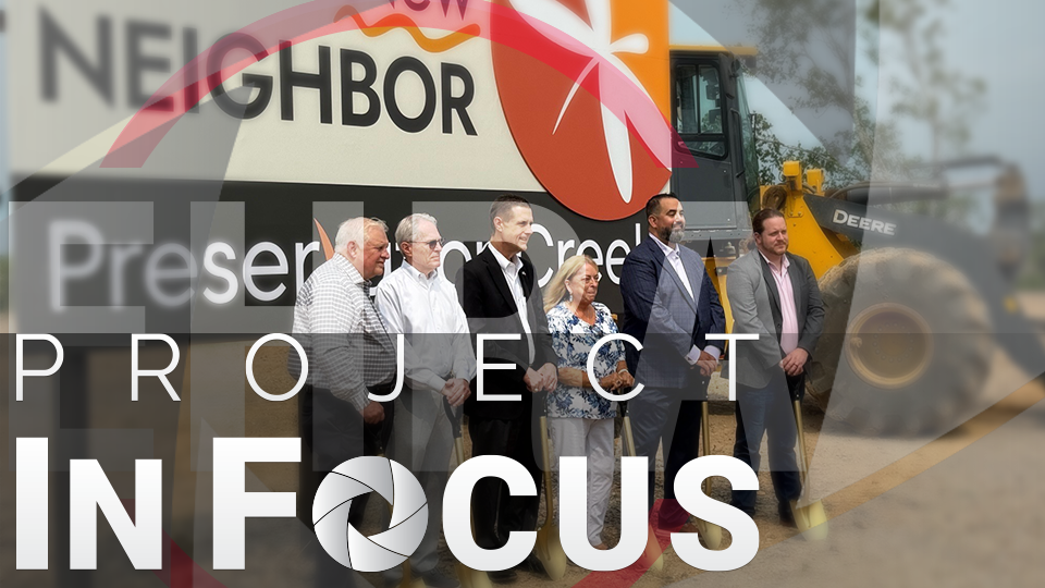
EHRA Engineering is excited to be partnering with W Land Development on Preservation Creek—a nearly 3,000-acre master-planned community in Brazoria County, just off of SH 288. Although currently in the early stages, once completed, Preservation Creek will be a vibrant, bustling community where people live, raise their family and connect with nature in the thoughtfully designed lakes and parks. But before roads are paved and homes are built, there is one crucial step: making sure the land is safe from flooding.
Meticulous planning and engineering analyses must be completed to properly prepare for construction. For EHRA’s Hydrology and Hydraulics team, one of their first major tasks was conducting a floodplain study of the site’s current conditions.
Understanding the Flood Risk
Situated along Austin Bayou, the Preservation Creek site has historically been used for agriculture. This flat, low-lying area is prone to widespread flooding during even moderate storm events. According to FEMA, most of the tract is currently mapped as Zone A floodplain, indicating an unstudied area presumed to be within the 100-year floodplain. Unlike more thoroughly mapped areas within the 100-year floodplain (called Zone AE), Zone A does not include detailed flood data such as how high floodwaters could rise, also known as base flood elevations (BFEs).
For any new development in a Zone A flood hazard area, FEMA requires a floodplain study to establish BFEs that will determine how much the land must be raised before homes and roads can be safely built. Once the elevations are established, developers can begin removing the land from the floodplain through FEMA’s Letter of Map Change (LOMC) process.
Modeling the Bayou
EHRA developed a detailed 1D/2D hydraulic model for the upper portion of the Austin Bayou watershed using HEC-RAS software. This model combines two types of computation methods: 1D that tracks how water flows within the bayou channel banks, and 2D that shows how water spreads out across the land. The 2D portion of this model was particularly important because of the complex flow paths that occur when Austin Bayou overflows into the surrounding farmland.
One of the main challenges of developing this model was balancing detail across a study area covering nearly 30 square miles. EHRA utilized a mix of topographic survey data, drone-based LiDAR and Google Earth Street View to understand the geometry of the model and account for the thousands of culverts, drainpipes and levies that litter the study area and impact the drainage conditions.
Another tool, HEC-HMS, was used to estimate how much rainwater would run off the land and develop runoff hydrographs, which were input as boundary conditions in the HEC-RAS model. As with nearly all hydraulic models, the work was not complete once the model was running. The model was refined by fixing errors, addressing instabilities and adjusting the geometry based on initial results.
The analysis results showed that the true 100-year floodplain does not extend as far as FEMA’s floodplain mapping originally suggested. This study laid the groundwork for many more drainage studies to come as the development of Preservation Creek progresses.
The newly established BFEs will allow the engineers to raise the land just enough to safely develop it and remove the developed areas from the FEMA floodplain.
Meanwhile, the inundation mapping is being used in an ongoing floodplain fill mitigation analysis to ensure that any fill added to the site will not impact flooding conditions on neighboring tracts.
From Farmland to Neighborhood
It is easy to overlook just how much work goes into a development project before a shovel even hits the dirt, but thanks to the completion and approval of this study, Preservation Creek is one major step closer to becoming a safe, thriving community where people can call home.